by Elyse Monat, Active Transportation Planner for the City of Billings
The City of Billings has a new app-based map to help residents get active.
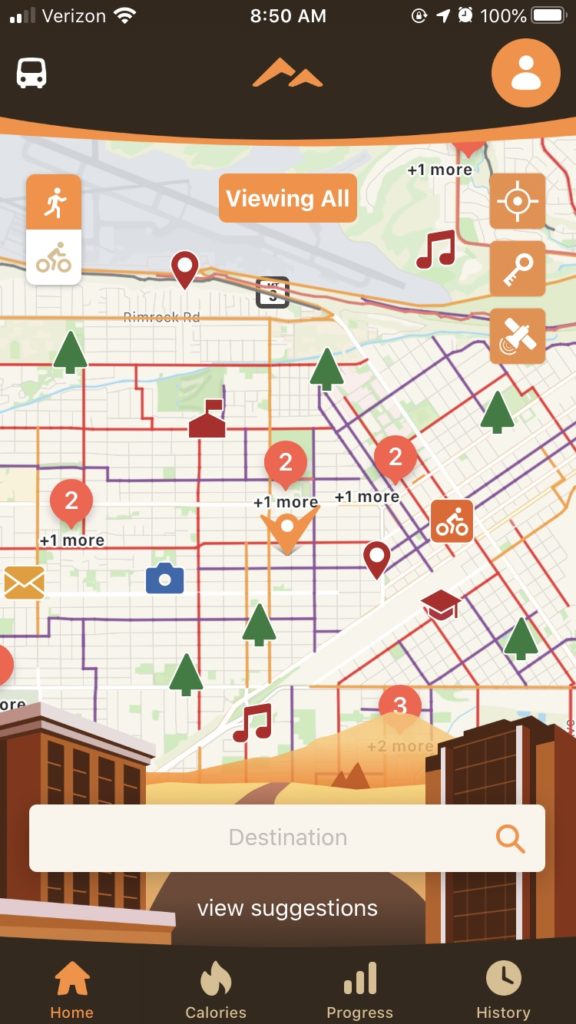
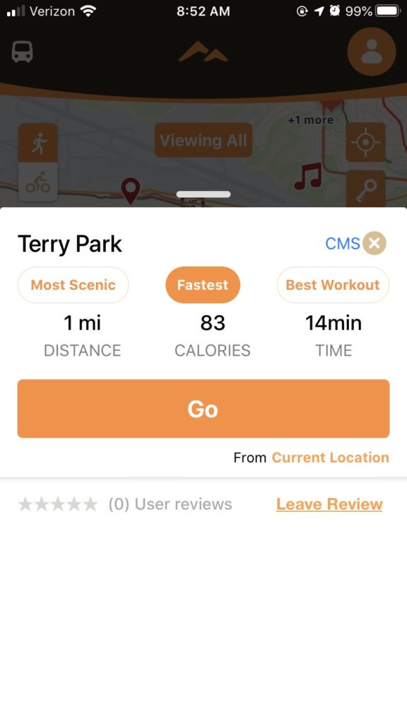
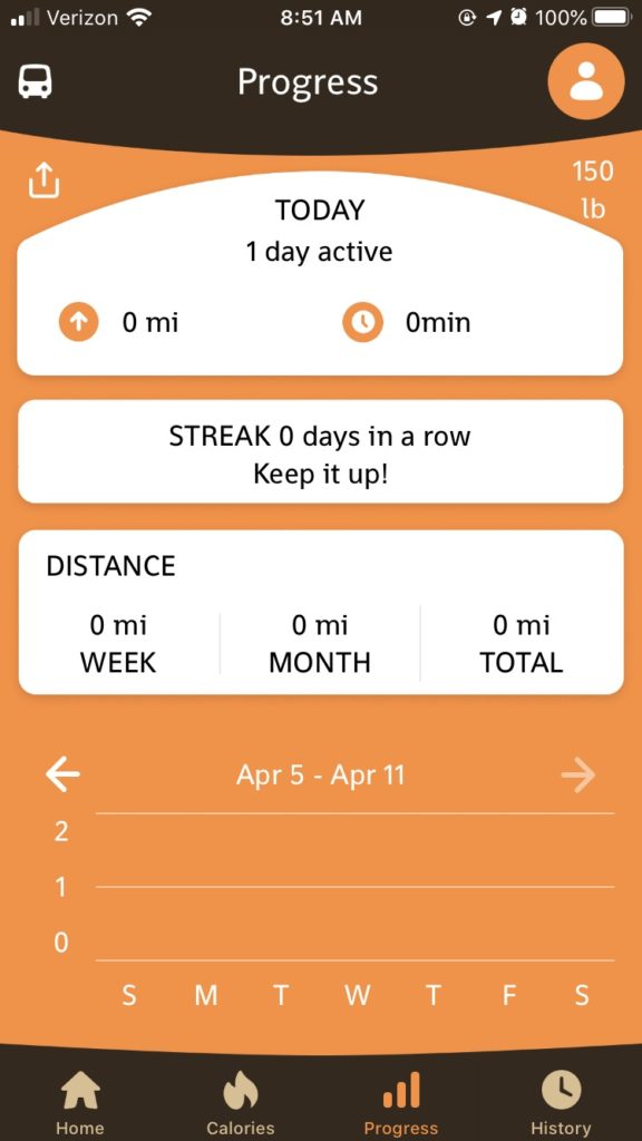
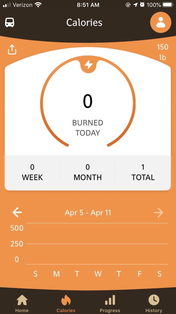
Called Billings Heritage Trails, the app is available for both iPhone (App Store) and Android (Google Play Store), and compliments the printed Heritage Tour Maps available around the community. Billings Heritage Trails features trails, bikeways, and parks so that users can find new outdoor recreation and transportation opportunities. Residents and visitors can use it to navigate to their destinations via routes optimized for biking and walking. The app even suggests destinations for those that want to explore more of Billings. Some destinations allow users to select the fastest route, the most scenic route, or the route that features the best workout to the destination. Users can keep track of their calories burned and trips traveled and can share their progress with others via social media.
With all of these options, the app is a great way to help Billings’ residents to mix up their walking and biking routines. Now more than ever, with social distancing measures in place, Montanans are eager to get outside and explore parks, trails, and bikeways in Billings. Billings Heritage Trails can help residents find these opportunities around the community. The app will also be helpful for those who want to actively commute-whether that be by foot, bike, rollerblade, skateboard, or wheelchair.
Remember, no matter if you are on a trail, sideway, bikeway, or in a park to practice social distancing and leave at least 6 feet of space between you and others.
To download the app, visit the App Store or Google Play Store on your mobile device and search for Billings Heritage Trails.